Development Project of the 145 territories (145 PDL).
Description
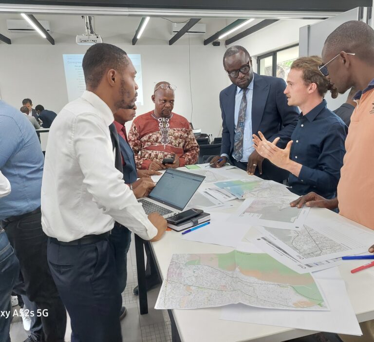
The Democratic Republic of Congo is experiencing strong disparities in terms of development in its different territories. The government has set up the so-called “145 territories” project to address this imbalance by building basic infrastructure to reduce poverty and improve the living conditions of people living in rural areas. Our mission consisted of training on the use of GIS tools for teams that will collect essential data for the implementation of the project as a whole. This training consisted of two phases, one theoretical and the other practical in the field.